The English Lake District Stone Circles

A New Perspective

by Robin Heath

THE HISTORY OF THE STORY

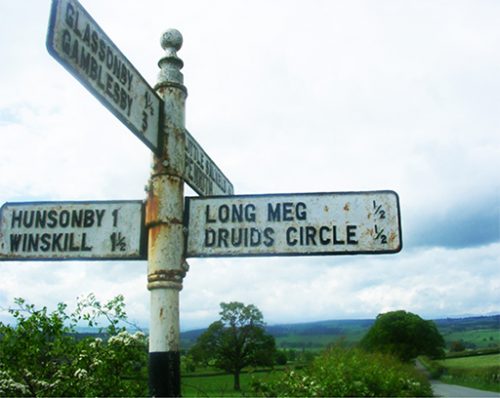
The large number of stone circles found in the English Lake District of Northern Britain are among the oldest known, Aubrey Burl suggesting that the construction of Castle Rigg, its most visited ring as being ‘around 3200 BC’ [Burl 1995]. Many of these circles are in fact non-circular and most of the survivors are very large – over 100 feet in diameter. Their design geometry includes many of the ‘flattened circle’ geometries first discovered by Alexander Thom, [Thom, 1967], and which he named Type A and Type B flattened circles.

The Type A’s perimeter shape is based on hexagonal geometry, whereas the Type B is based on the division of a diameter line by three, which can be understood as based on a vesica piscis construction. These two types of flattened circle are fundamentally different.  However, examples have been found where a definite geometrical change has made to the standard design. One example of this is the Type D flattened circle, whose geometry will be explained later.

This article focusses on the locations of the major Lake District circles and their relationship to other megalithic sites in Britain. It demonstrates that knowledge of Astronomy, Geometry and Metrology were all subjects that fell well within the capabilities of the circle builders.

Continue reading “The English Lake District Stone Circles”

Stonehenge & Woodhenge – PART TWO

PART TWO – A SPECIAL RELATIONSHIP

In Part One a single action began a process of investigation – I made a measurement of two physical realities. The first was the length of a line connecting Stonehenge centre to Woodhenge, centre, and the second was the angle of orientation that this line makes with respect to an east-west line, termed a co-azimuth angle. This second part of the article shows where that single action can lead a researcher into understanding presently unsuspected purposes within the designs of, in this case, Stonehenge and Woodhenge.

Continue reading “Stonehenge & Woodhenge – PART TWO”

Stonehenge & Woodhenge – A Lost Legacy – PART ONE

  • PART ONE  –   A LOST LEGACY

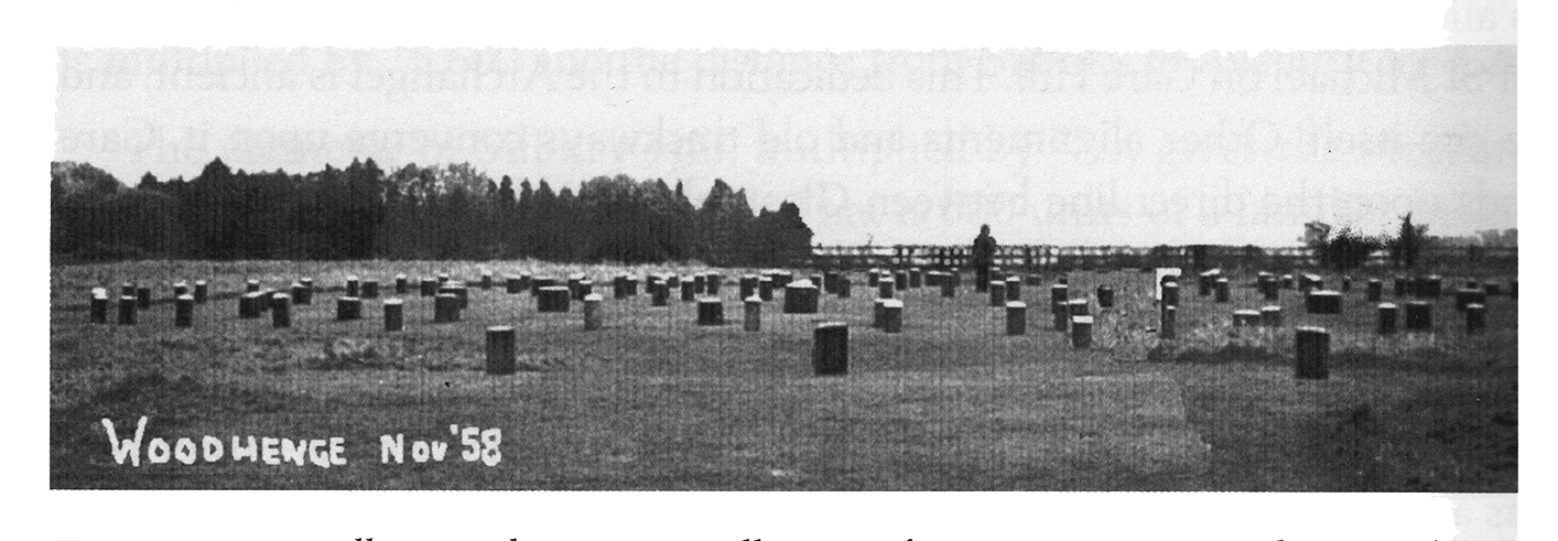
Soon after the distinguished Welsh archaeologist Maude Cunningham and her husband finished work excavating the site we now know as Woodhenge, in 1929, the locations of each of the site’s many revealed postholes were marked with grey concrete bollards. The best that can be said of this action was that it ensured their original exact positions were recorded for posterity (see Alexander Thom’s photograph below, from 1958, courtesy of Eoghann MacColl).

Visually, Woodhenge is neither a pretty nor an impressive site, unlike its nearest neighbour, Stonehenge, some 1.9 miles to the southwest. VIsitors to Woodhenge tend not to linger around this site, and soon slope off to nearby Durrington Walls, to the north, or Stonehenge, to the southwest. This article claims to lift the present Cinderella status afforded to this Neolithic class II henge and timber circle monument, by identifying a previously unrecognised significance in its geodetic placement with respect to Stonehenge.

Continue reading “Stonehenge & Woodhenge – A Lost Legacy – PART ONE”

Interesting Factoids about Avebury + free PDF download.


Ten Interesting Factoids about Avebury

1. Avebury is the largest known stone circle anywhere, with a surrounding ditch and bank a mile in circumference

2. The centre of Avebury is placed 4/7ths of the distance between equator and pole, at latitude 360/7*

3. A very detailed and accurate seven station closed traverse survey was undertaken by Professor Alexander Thom in 1978.

4. Thom reported that the perimeter of the outer stone ring was 1302.5 Megalithic yards (MY) of 2.722 feet, which is 3545.4 feet or 520 Megalithic rods ( 1 MR = 2.5 MY).

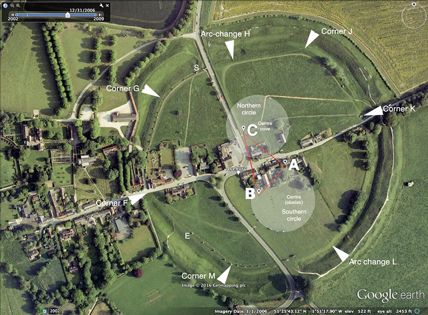
5. The geometry of the ring is based on a circle 200MY in radius (544 feet/ 1.66m) with centre at point D, exactly 60 MY from C (see diagram above).

6. A 3-4-5 pythagorean triangle ABC of side lengths 30-40-50 MR (75, 100 and 125 MY) defined much of the geometry. From the corners of this triangle (the stones/markers have long gone) three of the various arcs that make up the outer ring were struck. Their radii and arc lengths are as follows:
From A, B and C, each radius 260 MY, define arc FG, from A, arc HG, from B, and arc ML, from C.
In addition, there were two longer arcs struck from outside of the ring, of length 750 MY, from points W and Z (not shown on diagram). The remaining part of the perimeter is based on the forming circle perimeter, whose diameter is 200 MY..

7. The two inner circles are each 125 MY in radius and are therefore as big as any other true circle known in Britain, and the same size as the massive Ring of Brogar in the Orkneys.

8. Avebury, unlike nearly all other stone rings, has CORNERS, which demarcate the arc lengths. Thom
showed that all the arc lengths are integral in Megalithic rods, and total 1302.5 MY (521 MR)

9. Avebury is a MESS. The ring was heavily vandalised in history, has a village built within and
without it, and a major road system has quartered it (see piccy below). Most of the stones were fallen
or missing in 1930. Only nine still stood. Despite this, Alexander Keiller and other archaeologists were able to locate the majority of the remaining stone holes in the chalk and restore much of the original monument, The geometry of the original ring has since been discovered by AlexanderThom.

10. When built, the outer stone ring contained either 98 or 99 stones, some weighing over 50 tons.

AVEBURY TOUR (compressed) 2017 PDF file of full report.
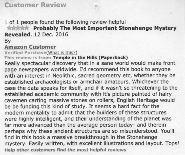
Amazon Book Review – Probably the Most Important Stonehenge Mystery Revealed

Below is a review of Temple in the Hills, given a five star rating by the reviewer. It’s better than any Easter egg. Half the print run has gone after five months and the book section lets you know how you may acquire a copy. An early chapter from this book is blogged earlier on this site.

Continue reading “Amazon Book Review – Probably the Most Important Stonehenge Mystery Revealed”

Equinoctial Stone row alignment (photo)

The Russia stones are three large (8ft) bluestone uprights, stonking great stones that were once part of a stone row marking to the Equinoctial (west – 270*)) sunset, part of a section of the Dinas Cross to Pontfaen road in the Preselis, near Russia (’tis true!), where the road markedly changes direction and traces the path of the alignment for about 470ft (170m). Two of remaining three upright stones are those stand in front of the sun’s disc in the distance. All other stones, some massive, now lie recumbent, buried in the bank, just as one can find at the minor standstill moonset ‘detector’ (301.4*) at Parc y Meirw (Field of the Dead) stone row on the Llanychaer road, about a mile away. Prehistoric precision astronomy at its best in Preseli, with photographs of the event…read on!

Continue reading “Equinoctial Stone row alignment (photo)”

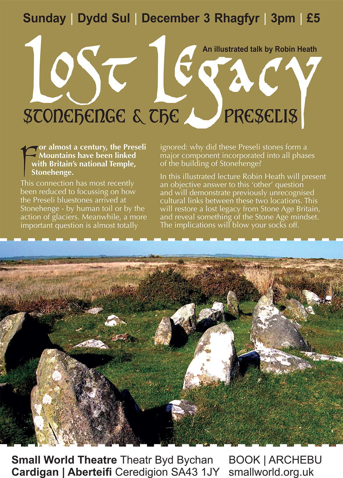
Stonehenge-fest Thursday 23rd February, 6pm, then West Wales Dowsers on Sunday 26th February.

Thunderbirds are go! I have recently been invited to give a presentation on my work in the Preseli Hills at the first of the above events.

This first event is being held at the Memorial Hall in Newport, Pembs, which is located on the right as one leaves the village travelling on the A487 towards Fishguard. Please note that parking can be the devil’s own business there, so the Carpark down the hill may be a wise decision, travelling towards Fishguard, and before you get to the Memorial Hall, it’s on the left at the main crossroads in the town, and just a short walk gets you to the hall.

I am informed that fizzy drinks and canapes are going to be available, and I’m told by Paul Sanday, a geologist and the organiser of the event, also one of the speakers, that he wants to “get things moving on the debate about Stonehenge’s connections with the bluestone sites within the Preselis”. I wonder how much stirring of these dark and well muddied waters might he be looking for!? Usual photos, storyline and new research from me, plus question time and jolly books for sale with some humour. Could be a lot of fun.

The second event is hosted by the long standing,  successfully managed and well informed West Wales Dowsers, associated with the BSD. The venue is Bronydd Village Hall, about two or three miles from Carmarthen on the main Newcastle Emlyn road to Cardigan. The post code is SA33 6BE for all you non-dowsers. And for those who eschew the sat-nav, one turns at the sign for the steam railway,  following the road past the station, then, after about a quarter mile the village hall is on the left. The clue is that it looks just like a village hall, and is sited opposite Timberman and before the charming bridge over the river. Huge free carpark.

Doors open at 1:45 for a 2pm start. I’ll be presenting lots of stuff about my research, and my latest book, Temple in the Hills, plus a Q&A session, and you’ll also get the chance to mingle and chat with loads of nice folks into all manner of interesting aspects of the earth mystery genre. The secretary is Jennifer Forrest. Certainly better than watching an old black and white ‘B’ movie on the telly! All done by 4:30pm, in time for everyone to get home for Countryfile.