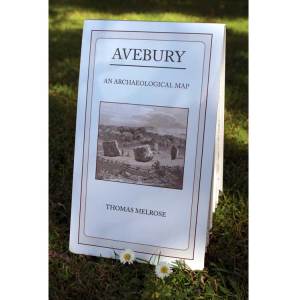
Designer and collator Thomas Melrose has done what has been needed for many years – produced a superb graphical map of Avebury where all the stones are listed, all the recent archaeological evidence derived from LIDAR and aerial photography is included and, where applicable, shown on the plan. For the tourist or visitor it now becomes the must-have source material to have tucked away in a rucksack or large pocket during a walk around the Avebury Henge site.
But this new presentational format goes far further than this necessary accessory. Its accuracy is without doubt the best yet available to researchers, be they academic archaeologists or enthusiastic amateurs.
Continue reading “Avebury: Review of the recent OS-style map”
